Thank you to everyone who participated in the Yaquina Bay EMP Update planning process
Lincoln County and the Cities of Newport and Toledo will undergo the formal plan amendment process which will include additional opportunities for the public to provide input and feedback
RESPONSES TO PUBLIC COMMENT
Thank you to everyone who submitted comments and questions on the draft Yaquina Bay Estuary Management Plan (YBEMP) released on June 12, 2023. Over 100 comments were submitted. The Project Team has provided a response to each one. You can view those here.
In addition, there were several formal letters submitted by individuals and on behalf of organizations as commentary on the draft Plan. The Project Team secured permission from each letter writer to have their letter and response published on the website. Those can be viewed here.
What’s next? The Steering Committee for the YBEMP will take the information, feedback and input from the public comment and make changes to the draft Plan accordingly before it is considered ready for the formal plan amendment process tentatively scheduled to begin in Winter 2024.
Frequently Asked Questions/Comments & Response from the Project Team
There were several comments/questions that regularly came up as part of the public commentary on the draft Yaquina Bay Estuary Management Plan. The Project Team has published those questions and their responses here.
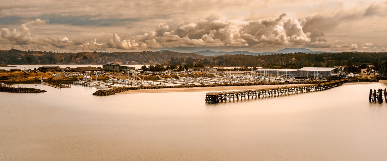
UPDATED ESTUARY MANAGEMENT PLAN
A Needs and Gaps Assessment was developed to determine how the current Estuary Management Plan needs to be updated in order to better reflect the current social, ecological and economic conditions of Yaquina Bay.
As a result, and in consultation with an Advisory Group, Technical Sub-Group, and Steering Committee, the following changes have been proposed:
Use digital maps to replace hand-drawn maps
Create standardized Estuary Zoning Districts to replace Permitted Use Matrix
Update certain Management Units by splitting units or shifting boundaries to better reflect natural areas for protection and areas for development
Consider and incorporate local climate vulnerabilities when planning projects that could impact the estuary
Remove outdated references
Add an update section to anticipate future Plan updates when local conditions change
The Plan Update is taking place over a 2-year period between 2022-2023. The process for updating the Yaquina EMP includes:
Updating Yaquina Estuary map information and uses,
Modernizing the Plan to reflect current social, cultural, environmental, and economic conditions,
Gathering and incorporating community input, and
Integrating expected impacts of climate change.
The draft updated EMP can be found here.
Click here if you would like to view the original EMP.
Por favor presiona aqui para leer esta pagina en español.
DRAFT EMP
Download the final draft version of the updated Estuary Management Plan for Yaquina Bay.
FACT SHEET
Download the Fact Sheet to get an overview of the planning process and a quick view of what has changed about the EMP.
MAP VIEWER
JULY 2023 TOWN HALL
Download presentation slides from the July 2023 Town Hall meetings.
MAPS & MAP VIEWER
Estuary management plans rely on data and information that describe the physical, biological, social, and economic conditions of the estuarine area, and define the boundaries of individual management units. This information has all been mapped and are available to view here.
DLCD and IPRE have partnered to create a data viewer. You can access that here.